Ab 21. Mai 2021 sind wir wie gewohnt wieder f�r Sie da und Vorfreude ist bekanntlich ja die sch�nste Freude.
St�bern Sie durch unsere Angebote und planen Sie jetzt Ihren Urlaub, denn bei uns ist Ihre Urlaubsbuchung SICHER - bei Krankheit oder Reisebeschr�nkungen zum Zeitpunkt Ihrer Anreise aufgrund des Virus ist eine kostenlose Stornierung m�glich. Zu den Details gehts hier.
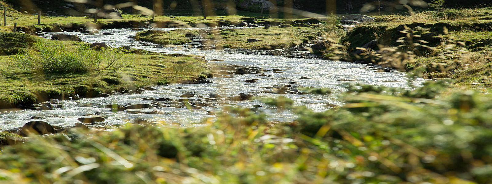
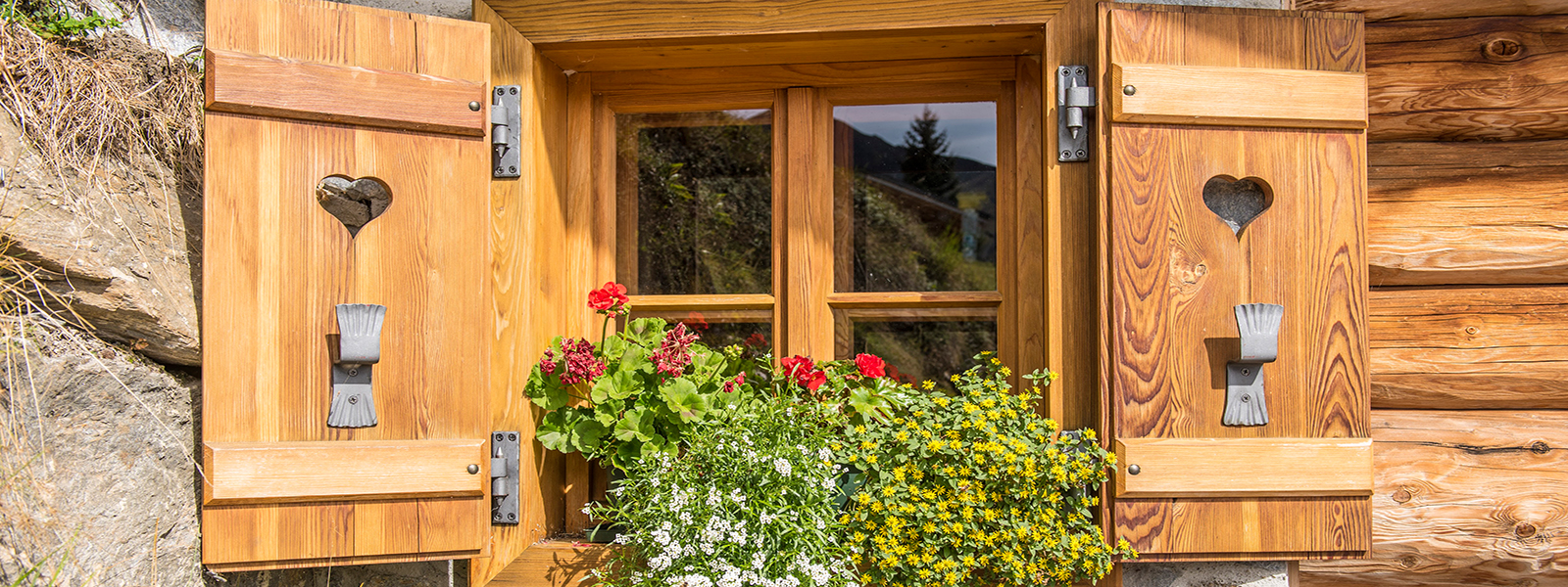
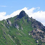
Freuen Sie sich auf entspannte Urlaubstage in Gastein - ein guter Grund nach VORNE zu blicken.
Bis bald in unserem kleinen & feinen Aktivhotel
Fam. Fankhauser & das Einkehr Team

 +43 (0) 6433 / 72 48
 info@einkehr.com
 www.einkehr.com